Science of Snow: Avalanche Forecasting
Last season, Skevik launched a blog series entitled, “Science of Snow”. It featured the research, findings, and general ramblings of aspiring PhD Student, expert snow-shredder, and occasional purple onesie wearer, Scott Thumlert.
Over the summer and fall, Scott managed to successfully defend his thesis and was awarded his doctorate from the Applied Snow and Avalanche Research Department at the University of Calgary. You can now address him has Dr. Snowflake, or not.
Thankfully for us, Scott’s research career is not ending and he’ll be stationed back up at Mike Wiegle’s Heli-Ski operation, poking around in the snow, working on moving from an Assistant ACMG Guide to full, and putting down a few thoughts for us every once in a while. Here’s the first.

Avalanche Forecasting
words by Scott Thumlert
Uncertainty. I believe the concept of uncertainty is somewhat misunderstood in both the recreational and professional avalanche communities. The interaction of weather over complex mountain terrain results in a snowpack that varies, a lot. So as we travel over the snow it is difficult to predict weak layer strengths, slab thickness, and slab stiffness.
The solution? Perhaps digging a quick profile and perform a few snowpack tests. While this is a great idea and it provides some information, extrapolating this information from one point in the mountains and applying it to the surrounding slopes takes a lot of experience and an understanding of uncertainty. Often the results from stability tests are vague in themselves, and determining what a sudden fracture observed in the moderate taps at treeline in a sheltered area means up in the alpine start zone is uncertain. Did the surface hoar get blown away at higher elevations? How much wind loading occurred up there with the last storm?
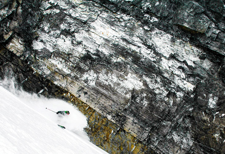
The fact is, when shredding in avalanche terrain we are making complex decisions based on sparse information. Thus, we are never really completely sure that a slope won’t slide. Be very wary of any ski partner who repeatedly says otherwise! However, we can still eat gnar burgers served with pow-in-yer-grillz fries. Uncertainty just translates into putting everything you can in your favour.
You may remember that a few years ago the avalanche bulletins changed. This outcome was largely the result of work by Grant Statham of Parks Canada. In undertaking a project to redesign the avalanche bulletins, Grant found a lack of understanding of the concepts of risk in the avalanche community. He used his extensive field experience as a long time mountain guide to apply the constructs of risk to the practice of avalanche forecasting.
Avalanche forecasters use many different methods depending on the mountain zone they reside in, the size of their operation, and the availability of information, but the fundamentals are the same. So Grant and others cooked up the “conceptual model for avalanche hazard” (figure below). This is the fundamental process that all forecasters go through for every forecast they create.

It all starts with observations. Forecasters review the recent avalanches that have been observed in their terrain. The most important info from avalanche observations are: how many? how big? and, what type are they?
The last question is VERY important and greatly influences the terrain selection process. Were the avalanches observed all on south aspects at treeline, and perhaps due to a buried sun crust with facets? If so, south slopes should be avoided, and we can more safely rock cold pow on the north aspects. Were the avalanches mostly small sluffs from steep terrain or did we see some massive slabs pull out on the depth hoar? Obviously a BIG difference.
Next up, weather observations. How much snow fell last night? Wind? Sun? Are we expecting surface hoar to have grown last night? Of course the forecasted weather for the period in which we are forecasting will influence our assessment of stability as well.
Lastly, information about the snowpack is needed. How much snow do we have? Basal facets? Surface hoar? What are the recent stability test results IN GENERAL?
All this info is gathered and used to answer the next two questions: how sensitive do we think the snowpack will be to triggers (skiers, cornices, sleds, etc.)? And, what is the spatial distribution of the main sensitivities?
As an example, on this (theoretical) day we will say that we are most concerned about the Dec 25th surface hoar layer, which we think will be “touchy” because there were many avalanches reported on it the day prior. From the reports we have, it sounds like the layer formed between 1900 m and 2500 m and is “widespread” on all aspects in that elevation range. We have now predicted the sensitivity to triggers and the spatial distribution of the problem. Combining those, we can forecast the “likelihood of triggering”. How likely are we to trigger an avalanche on this surface hoar layer shredding in our terrain today? Possible? Ya, I think it’s possible today, you?
Next question, if we trigger an avalanche how big will it be? Well, the ones from yesterday ranged from size 2 to 2.5, and it snowed another 45 cm last night. So, maybe today we could get size 2.5 to 3 avalanches on the layer.

Now for the last step in the avalanche hazard forecast. We combine the size potential and the likelihood of triggering: today it’s possible to trigger size 2 to 3 avalanches. Cripes, that sounds like Considerable, maybe even High, avalanche danger. What do you think? Man, my Mom would be super worried if I went shredding in High avalanche danger… maybe we should play indoor volleyball today (LAME…)? What? It snowed 45 cm last night! That’s over-the-head amazingness. Enter “exposure” and “vulnerability” into the equation.
Yes, playing indoor volleyball today means no exposure, thus absolutely no risk to avalanches today. But, remember the surface hoar sounded like it formed between 1900 m and 2500 m. Perhaps we can go poke into terrain below 1900m and see if the surface hoar is there? Thus, we minimize our exposure to the problem.
Vulnerability, refers to the question, “if I get caught in an avalanche, what will happen?” A size 1 is “relatively harmless to people”, the vulnerability of getting caught in one is very low. On the other hand, a size 3 can destroy a small house, thus the chances of serious injury or death is way higher for a size 3, and therefore higher vulnerability. Wearing transceivers, airbags, lots of rescue practice, etc. are all good ways to reduce our vulnerability. So, even in High avalanche hazard conditions, we can enjoy a relatively low risk day if we choose zones to shred that limit our exposure to the avalanche problem of the day.
To summarize, we take observations of recent avalanches, the snowpack, and the weather to predict the sensitivity of the snow to triggers, predict where the sensitivities in the snow are in the terrain, then combine those to forecast the likelihood of triggering and the predicted size if triggered. This gives us the forecasted avalanche hazard for the day. Putting ourselves in the avalanche terrain adds exposure and vulnerability. Both can be reduced by picking good terrain and remembering our transceiver (and the other gizmos too). Putting that whole process together is avalanche forecasting 101. As always, we need to be realistic about how “certain” or “uncertain” we are about each piece of the forecast.